It seems that a late November weekend
scout camp is now part of my kids's annual schedule, so a couple of
Fridays back I found myself back up in the Forssa area, about 100 kms
northwest of Helsinki with 36 hours to kill. It was mid-evening,
slightly below freezing and very very dark. Last year I had taken my
mountain bike and
tried bikepacking the hiking route, the Lynx Route/Ilvesreitti,
with limited success. The 'trail' was marked by waymarks but not
enough people had actually walked it to make much of trail on the
ground. I did a lot of pushing and carrying the bike through forest
brush. This year I decided to stick to roads and forest tracks,
including riding sections of the long distance bike route
the Häme OxRoad/Hämeen Härkätie, that goes from Turku to Hämeenlinna, so took my cyclocross bike.
A lot of the roads and trails are unsurfaced so the CX was a great
choice, I could nip along paved sections at a decent pace, but had
plenty of grip on the gravel.
Last year it was grey and just above
freezing for the whole trip, and in November in Finland the days are
so short and the sun always so low that it brings a whole new drab
meaning to “grey”. This year I lucked out and the sky cleared
early on Saturday morning and stayed clear until after I was asleep
that evening, the temperature never got above 1 degree and was often
just below freezing according to the thermometer on my excellent
newish bike computer.
 |
| Saari Folk Park |
 |
| The Saari viewing tower |
I camped in a carpark in
LiesjärviNational Park on Friday night with the luxury of a tent and left the
car (and tent) there on Saturday morning. That day I rode a bit over
90 kms; this included some hiking single track in the
Saari Folk Park
but mostly was on unsurfaced roads and forest tracks. A good day of
gravel grinding. It didn't feel that big a day but I ran out of
daylight and had to ride the last hour or so with lights on to get to
the
laavu (lean-to shelter) I had decided to use that night. This was
actually the same one as I had camped in last year, but it was much
nicer this time with all the stars out above and no wind.
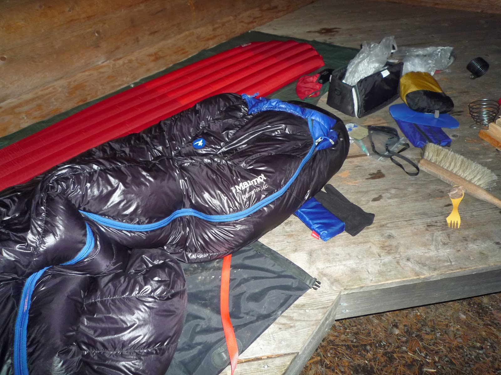
I lit a fire in the fireplace with out
much trouble, although it never really got to that pleasantly roaring
stage. There was only the dregs of the woodpile left, I guess after a
summer of visitors, and although the logs burnt they didn't seem to
put out much heat. I made lots of hot drinks to rehydrate – it's
easy to not drink enough riding in cold weather – and ate my
dubious far-eastern pot noddle thingy for supper, but with an
indifferent fire retired to my sleeping bag very early.
Sunday morning, I didn't have much time
before needing to go and pick my son up from scout camp so got up
early, made some hot drinks with breakfast and packed up. It was
still only getting light as I left the laavu and the moon was
shining brightly over the lake. I only needed to ride about 20 kms
back to my car that morning. It had snowed over nigh; enough to make
most of the world white but not enough to bother me in terms of
riding. My new tyres seemed to grip through the snow perfectly well
and reasonably soon I was back where I had started and putting the
bike back on the car.
Overall, the
Häme Lake Uplands area is
nice region to ride and
the available map designed for hikers andother outdoors user is a great resourse. The roads away from a couple
of highways, that I only crossed, are almost deserted. I reckon only
around a dozen cars went past me all day. At this time of year in
particular though, it is rather lonely – even though there are
national parks with the related infrastructure you might expect,
everything was closed. I found one cafe in the post office in Porras
open, where I had a lovely chat with the ladies picking up their
parcels and having coffee (I suspect and Englishman on a bike
speaking very bad Finnish might have been one of the more novel
events of their day), but beyond that I went past no open shop, cafe
or similar. Make sure you have enough food with you. There are also large numbers of abandoned and decaying buildings in the area, barns and old farm houses like this are quite normal in rural Finland, but the empty petrol station and shops (see photos above) had an unnerving feeling of looking a bit too much like a scene from "The Walking Dead".
Of course you
can camp pretty much anywhere, but I pushed on to get to a laavu I
used last year – knowing it was great spot and has a fireplace,
wood and a compost loo. But because of the hiking, riding, canoeing
and cycling routes around that area there are quite a few similar
laavus around.
I had new tyres for the trip,
SchwalbeMarathon Plus Tours. I was still using my original Marathon Pluses
through this summer on that bike. They came on my last bike and have
been absolutely superb. I must have done at least 10,000 kms over five years on them
and have never had a puncture but they're showing their age with the
sidewalls beginning to crack and the tread must be wearing somewhat
even if it doesn't look like it. I've ridden a few cyclocross races
this autumn and using my light CX tyres and have had a puncture in
one race then a double puncture in the next – all pinch flats from
hitting rocks and having the tyres blown up firm doesn't seem to
help. Hence deciding to try the Marathon Plus Tours – the same
hopefully bombproof construction as the normal Marathon Plus, but
with a bit of tread that seemed more suited for gravel roads and
forest tracks of Finland. On this trip they were great – the grip
felt great, even on Sunday morning riding back on snow. The only
downer is that with those very meat tyres plus mudguards on, the bike
felt bloody heavy. I'm not sure if serious CXers would want to race
on them, although for me if they didn't puncture it would offset any
slowness caused by their weight. For touring like this though they
seem perfect, hopefully I'll get 10,000 trouble free kilometres out
of this pair.
For cold weather bikepacking you need a
bit more gear just to keep warm. I used the same set up as
in September with my new Alpkit bikepacking bags and lashed-on dry bags
but also took a waist pack; just that bit more capacity than I needed
in summer. One of those bigger things for winter is the excellent
Jöttnar Fjörm down jacket that I'm reviewing for UKClimbing
currently. It's very warm and a nice “insurance” layer to have,
obviously designed as an belay jacket for ice climbing but works
great for any cold weather camping. It was stuffed with my sleeping
bag in the dry bag that goes under saddle. This is fine when riding,
but I need a number of straps to hold it in place which makes getting
things out of the bag a hassle if you're not stopping for long. The
obvious if a bit expensive solution to this is to buy one of
Alpkit'sKoala seat packs, meaning retrieving a jacket from the seat pack
would be easy, but I'm not convinced the Koala packs would fit as
much as my current arrangement despite supposedly being the same size
as my current dry bag I use there. Nevertheless, I know from winter
climbing that your belay jacket HAS to be easy to reach because
otherwise there is the temptation not to use it with the inevitable
downwards circle into shivering. I guess with cold weather bike
touring the situation is not dissimilar so I need to work this one
out.
 Since moving to Sheffield nearly a year ago I’ve been getting out into the Peak District and beyond quite a lot, but this has been mainly focused on climbing. I’ve ridden a lot for commuting during the week, keeping my cycling legs ‘in’ that way, but have had few opportunities for riding for pleasure. So now having finished my course, and having some time, I decided to get out and explore the Peak by bike. I didn’t want to ride on roads but I sold my trusty old mountain bike as part of our massive ‘life-streamlining’ before we moved from Helsinki. Hence I was going to need to find a route that I could do on my cyclocross bike as besides my roadie, that was the tool to hand.

 I started south of Chesterfield in the town of Clay Cross - my wife had to go that way for work that morning so it got me quickly away from Sheffield and towards some unfamiliar terrain. After the first 15 kms or so on quiet country lanes I dropped down into the Derwent valley just south of Matlock. Crossing the river and the Cromford Canal at High Peak Junction you get onto the High Peak Trail, and old railway line and now a national cycle route. You generally think of railways as being flat or nearly so, which makes dismantled ones such great cycle routes, but this is not the case here! The 19th century engineers needed to include massive inclines to get the railway up out of the river valley. Static locomotives were used to help trains haul or lower their loads up or down these inclines. They are not so steep as to be impossible to ride, but they are quite unlike road climbs for the cyclist: arrow straight and of a completely consistent angle, there is really nowhere to hide and no brief easings of angle as you toil up them.


 I woke up in wee small hours hearing rain on the tarp, but I stayed dry and warm under it and the morning dawned blue and cloudless. Following the Pennine Bridleway over some more hills and then plunging down towards Glossop was good riding. In Glossop, I finally left that route when it is crossed by the Trans-Pennine Trail (TPT). This long distance route goes from the Irish sea near Liverpool to North Sea at Hull, but I was about to follow it to its highest point as I crossed back from the west to the eastside of the Pennines. The route up Longdendale follows old railway track again so its very straight and smooth. The path leaves the old track where the rails used to go into the now closed Woodhead tunnel. The TPT instead crosses the busy A628 (it is busy with lots of big trucks - take care!) and goes steeply up a hillside (more pushing) before following a rough bridleway up to the top of pass. The Woodhead Pass is high and quite wild in a way, but definitely not "wilderness": a busy road goes over it, Longdendale has big pylons carrying electricity cables that then go under the pass using the old railway tunnel. There are also reservoirs and dams in the valley bottom. But looking up to the cloughs and crags on the northern edge of Bleaklow you can see the wild country.